| Well Information Table |
|---|
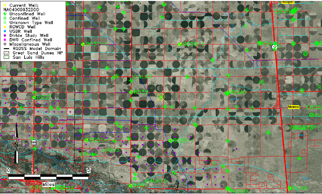
| Common Well ID | NA04000932DDD |
| USGS Well ID | 373927106001501 |
| USGS Station Name | NA04000932DDD |
| USGS Construction Date | 01/01/1948 |
| USGS Site Type | Well |
| USGS Site Use Information | Observation |
| USGS Groundwater Use Information | Unused |
| Data Source(s) | USGS |
| Location Data |
|---|
| TRS | NA04000932DDD |
| USGS TRS 1 | NA04000932DDD |
| USGS TRS | SESESES032T0040NR0009EN |
| Longitude/Latitude (NAD83) | -106.00474630 , 37.65750095 |
| Longitude/Latitude Data Source | GWSI decimal LAT/LONG field |
| USGS Longitude/Latitude (NAD83) | -106.004746300 , 37.657500950 |
| Easting, Northing RGDSS-NAD83 (US ft) | 104307.86 , 241017.25 |
| USGS Topography | Valley flat |
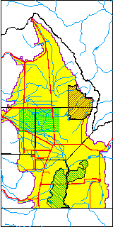
| USGS County | Alamosa County |
| Elevation and Depth Data |
|---|
| Ground Elevation (ft NAVD88) | 7600.15 |
| Elevation Data Source | USGS GWSI database |
| USGS Ground Elevation (ft NGVD29) | 7596.00 |
| 1/3-Arc Second NED Ground Elevation (ft NAVD88) | 7601.09 |
| 1-Arc Second NED Ground Elevation (ft NAVD88) | 7601.03 |
| SRTM Ground Elevation (ft NAVD88) | 7605.29 |
| Total Depth (ft) | 9.00 |
| USGS Well Depth (ft) | 9.00 |
| Model Layer | 1 |
| Model Layer Source | Well Depth |
| Depth of Bottom of Layer 1 | 98 |
| Depth of Bottom of Layer 2 | 222 |
| Depth of Bottom of Layer 3 | 760 |
| Depth of Bottom of Layer 4 | 2156 |
| Additional Well Information | Geohydrology, Construction |
| Aquifer Information |
|---|
| Aquifer Type | Unconfined |
| Aquifer Type Source | TD Elevation/Model Layer |
| USGS Primary Aquifer | Cenozoic Erathem |
| USGS Hydrologic Unit | San Luis |
| USGS Data Available | Water-level (GW.LEV) |
| Water-level Database Information |
|---|
| Water-level Count | 154 |
| Water-level Date Range | 04/22/1948 thru 01/21/1987 |
| Monitored within the last 18 months | No, most recently on 01/21/1987 |
| Depth-to-Water Range (ft) | 1.50 to 6.47 |
| Water Table Elevation Range (ft NAVD88) | 7593.68 to 7598.65 |
| Water-Level-Source:Number-of-Measurements | USGS:154 |