| Well Information Table |
|---|
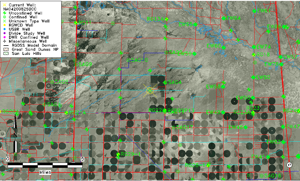
| Common Well ID | NA04200825BCC |
| USGS Well ID | 375125106031501 |
| USGS Station Name | NA04200825BCC |
| USGS Construction Date | 01/01/1964 |
| USGS Site Type | Well |
| USGS Site Use Information | Withdrawal of Water |
| USGS Groundwater Use Information | Irrigation |
| Data Source(s) | USGS |
| Location Data |
|---|
| TRS | NA04200825BCC |
| USGS TRS 1 | NA04200825BCC |
| USGS TRS | SWSWNWS025T0042NR0008EN |
| Longitude/Latitude (NAD83) | -106.05474520 , 37.85694440 |
| Longitude/Latitude Data Source | GWSI decimal LAT/LONG field |
| USGS Longitude/Latitude (NAD83) | -106.054745200 , 37.856944400 |
| Easting, Northing RGDSS-NAD83 (US ft) | 90139.03 , 313677.64 |
| USGS Topography | Valley flat |
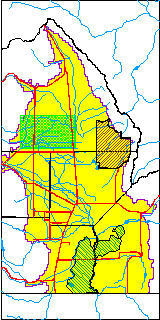
| USGS County | Saguache County |
| Elevation and Depth Data |
|---|
| Ground Elevation (ft NAVD88) | 7581.25 |
| Elevation Data Source | USGS GWSI database |
| USGS Ground Elevation (ft NGVD29) | 7577.00 |
| 1/3-Arc Second NED Ground Elevation (ft NAVD88) | 7581.67 |
| 1-Arc Second NED Ground Elevation (ft NAVD88) | 7581.64 |
| SRTM Ground Elevation (ft NAVD88) | 7581.75 |
| Total Depth (ft) | 2144.00 |
| USGS Well Depth (ft) | 2144.00 |
| Model Layer | 4 |
| Model Layer Source | Well Depth |
| Depth of Bottom of Layer 1 | 99 |
| Depth of Bottom of Layer 2 | 180 |
| Depth of Bottom of Layer 3 | 579 |
| Depth of Bottom of Layer 4 | 2440 |
| Additional Well Information | Geohydrology, Construction |
| Aquifer Information |
|---|
| Aquifer Type | Confined |
| Aquifer Type Source | TD Elevation/Model Layer |
| USGS Primary Aquifer | Cenozoic Erathem |
| USGS Hydrologic Unit | Saguache |
| USGS Data Available | Water-level (GW.LEV) |
| Water-level Database Information |
|---|
| Water-level Count | 1 |
| Water-level Date Range | 02/17/1970 thru 02/17/1970 |
| Monitored within the last 18 months | No, most recently on 02/17/1970 |
| Depth-to-Water Range (ft) | -53.50 to -53.50 |
| Water Table Elevation Range (ft NAVD88) | 7634.75 to 7634.75 |
| Water-Level-Source:Number-of-Measurements | USGS:1 |