| Well Information Table |
|---|
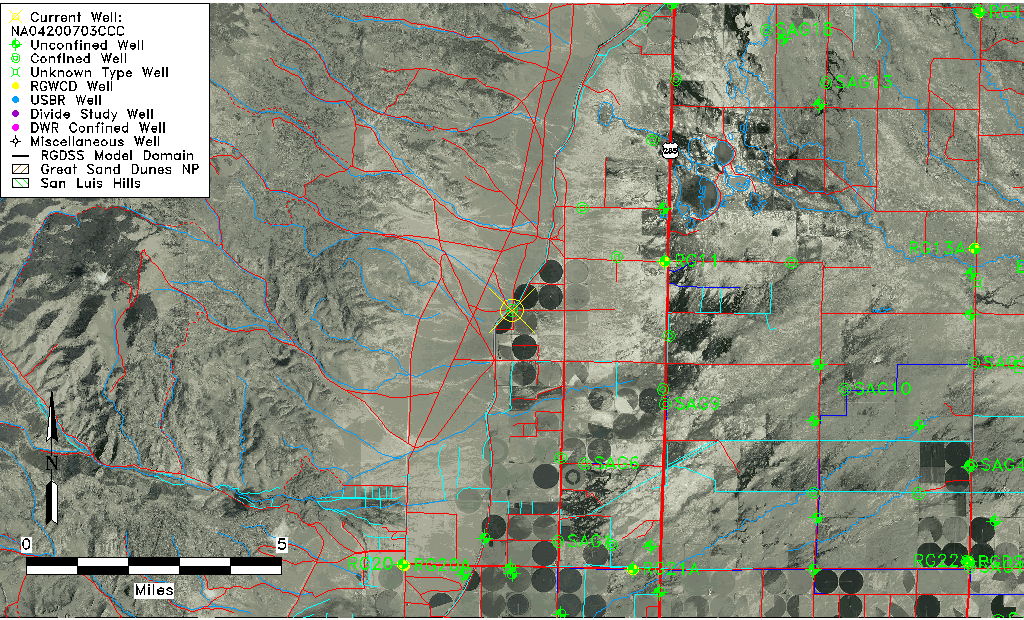
| Common Well ID | NA04200703CCC |
| USGS Well ID | 375430106120001 |
| USGS Station Name | NA04200703CCC |
| USGS Construction Date | 01/01/1952 |
| USGS Site Type | Well |
| USGS Site Use Information | Withdrawal of Water |
| USGS Groundwater Use Information | Irrigation |
| Data Source(s) | USGS |
| Location Data |
|---|
| TRS | NA04200703CCC |
| USGS TRS 1 | NA04200703CCC |
| Longitude/Latitude (NAD83) | -106.20058300 , 37.90833415 |
| Longitude/Latitude Data Source | GWSI decimal LAT/LONG field |
| USGS Longitude/Latitude (NAD83) | -106.200583000 , 37.908334150 |
| Easting, Northing RGDSS-NAD83 (US ft) | 48152.12 , 332594.85 |
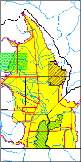
| USGS County | Saguache County |
| Elevation and Depth Data |
|---|
| Ground Elevation (ft NAVD88) | 7682.73 |
| Elevation Data Source | USGS GWSI database |
| USGS Ground Elevation (ft NGVD29) | 7678.10 |
| 1/3-Arc Second NED Ground Elevation (ft NAVD88) | 7684.14 |
| 1-Arc Second NED Ground Elevation (ft NAVD88) | 7683.23 |
| SRTM Ground Elevation (ft NAVD88) | 7703.07 |
| Total Depth (ft) | 163.00 |
| USGS Well Depth (ft) | 163.00 |
| Model Layer | 2 |
| Model Layer Source | Well Depth |
| Depth of Bottom of Layer 1 | 131 |
| Depth of Bottom of Layer 2 | 237 |
| Additional Well Information | NONE |
| Aquifer Information |
|---|
| Aquifer Type | Confined |
| Aquifer Type Source | TD Elevation/Model Layer |
| USGS Hydrologic Unit | Saguache |
| USGS Data Available | Miscellaneous (GW.MISC) |
| Water-level Database Information |
|---|
| Water-level Count | 1 |
| Water-level Date Range | 10/10/1967 thru 10/10/1967 |
| Monitored within the last 18 months | No, most recently on 10/10/1967 |
| Depth-to-Water Range (ft) | 57.74 to 57.74 |
| Water Table Elevation Range (ft NAVD88) | 7624.99 to 7624.99 |
| Water-Level-Source:Number-of-Measurements | USGS:1 |